
Here is what to know before you buy or sell.
- JurisdictionUnincorporated Sarasota County
- Population3,217 in the census-designated place (2020 census)
- Main roadsU.S. 41; Laurel Road to I-75 (Exit 195)
- Home typesOlder cottages and ranch homes, waterfront homes, golf-community homes and villas
Overview: Nokomis at a Glance
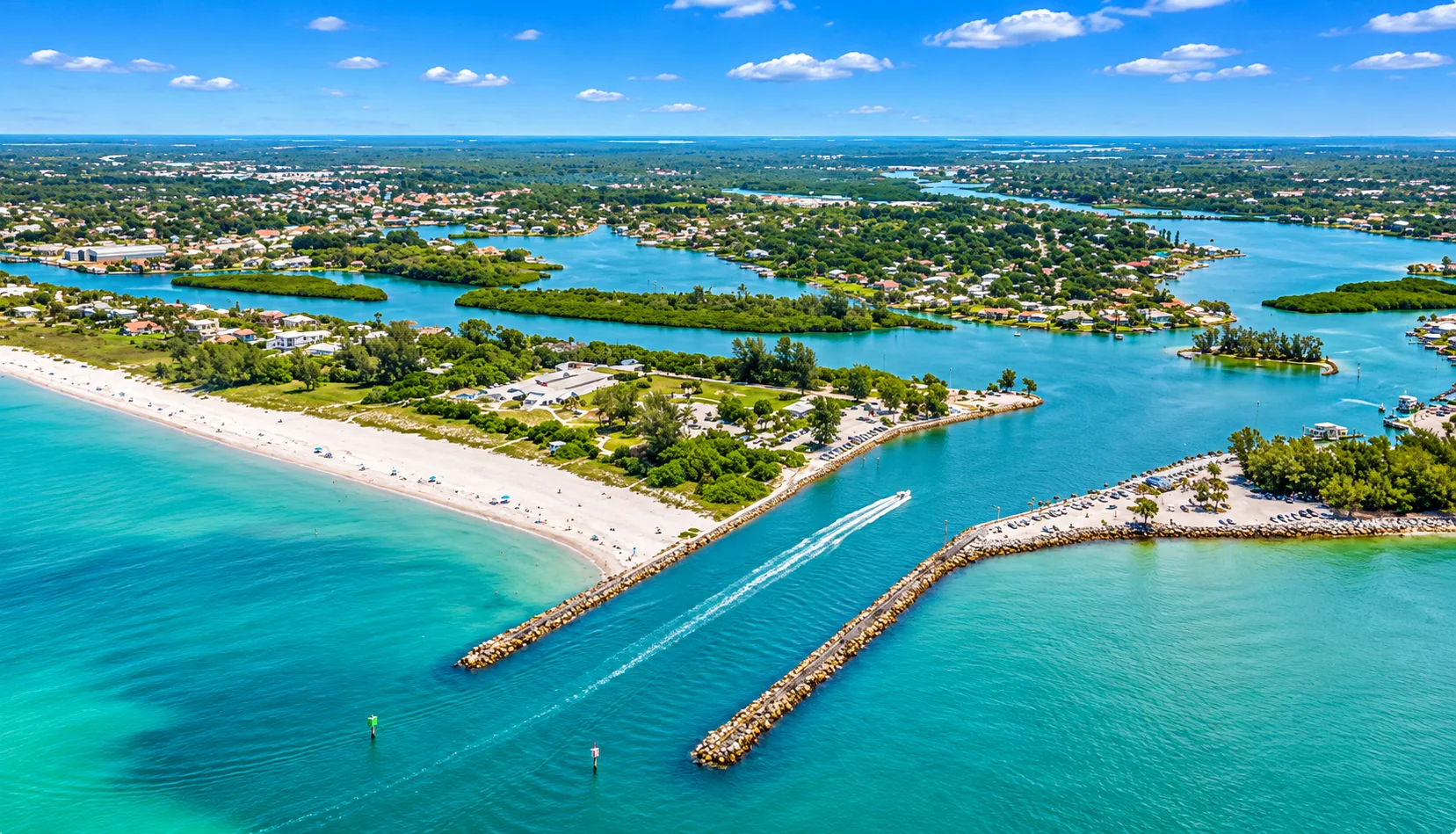
Nokomis is one of the oldest settlements on this stretch of the Gulf Coast, and it still feels like a small town. It is an unincorporated community in Sarasota County, set along U.S. 41 between Osprey to the north and Venice to the south, with Dona Bay and the Intracoastal Waterway on its western edge. Across the water lies Casey Key, home to Nokomis Beach. Inland, Laurel Road leads east past golf communities to I-75.
The Nokomis census-designated place is small. It covers about 1.9 square miles, about 16% of it water, according to the Census Bureau. Its 2020 population was 3,217, and the median age was 54.4, younger than in neighboring Osprey or Venice. The census counted 1,541 households and 1,837 housing units, 16.1% of them vacant, a figure that includes seasonal homes. Many homes with a Nokomis mailing address, including the Laurel Road golf communities, sit outside that census area.
Nokomis History in Brief
The first settlers, the Knight family and at least three other families, arrived in 1868 in an area then called Horse and Chaise, which also took in today’s Venice. In 1917, Alfred F. Wrede opened the first post office under the name Nokomis. The same year, orthopedic surgeon Dr. Fred Albee bought 112 acres from the Sarasota-Venice Company. With Ellis W. Nash, he laid out the Nokomis subdivision: 130 lots, with streets radiating from two circles and a new asphalt highway that later became U.S. 41. The 1939 Florida guide listed Nokomis’s population as 79 and called it a suburb of Venice, separated from that town by Shakett Creek.
Mainland Nokomis and the Casey Key Side
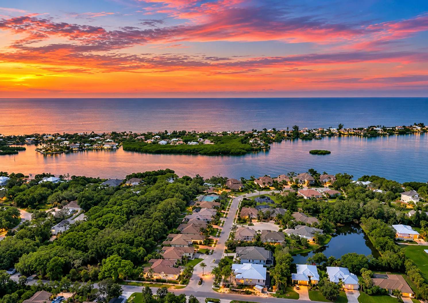
Most of Nokomis is on the mainland, east of the bay. That is where the older neighborhoods, U.S. 41 shops and the inland golf communities are. Casey Key, the barrier island across the water, has its own character: Gulf-front and bayfront homes on a narrow, quiet road. It is not part of any census-designated place, though much of it uses Nokomis mailing addresses.
The Albee Road bridge links mainland Nokomis to the south end of Casey Key and Nokomis Beach. For the island itself, its homes and its bridges, see our Casey Key guide. This guide focuses on the mainland.
Nokomis Beach and North Jetty Park
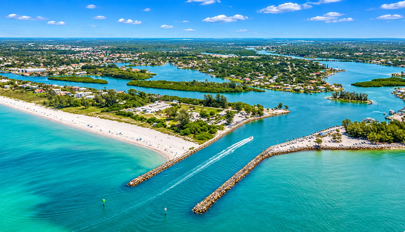
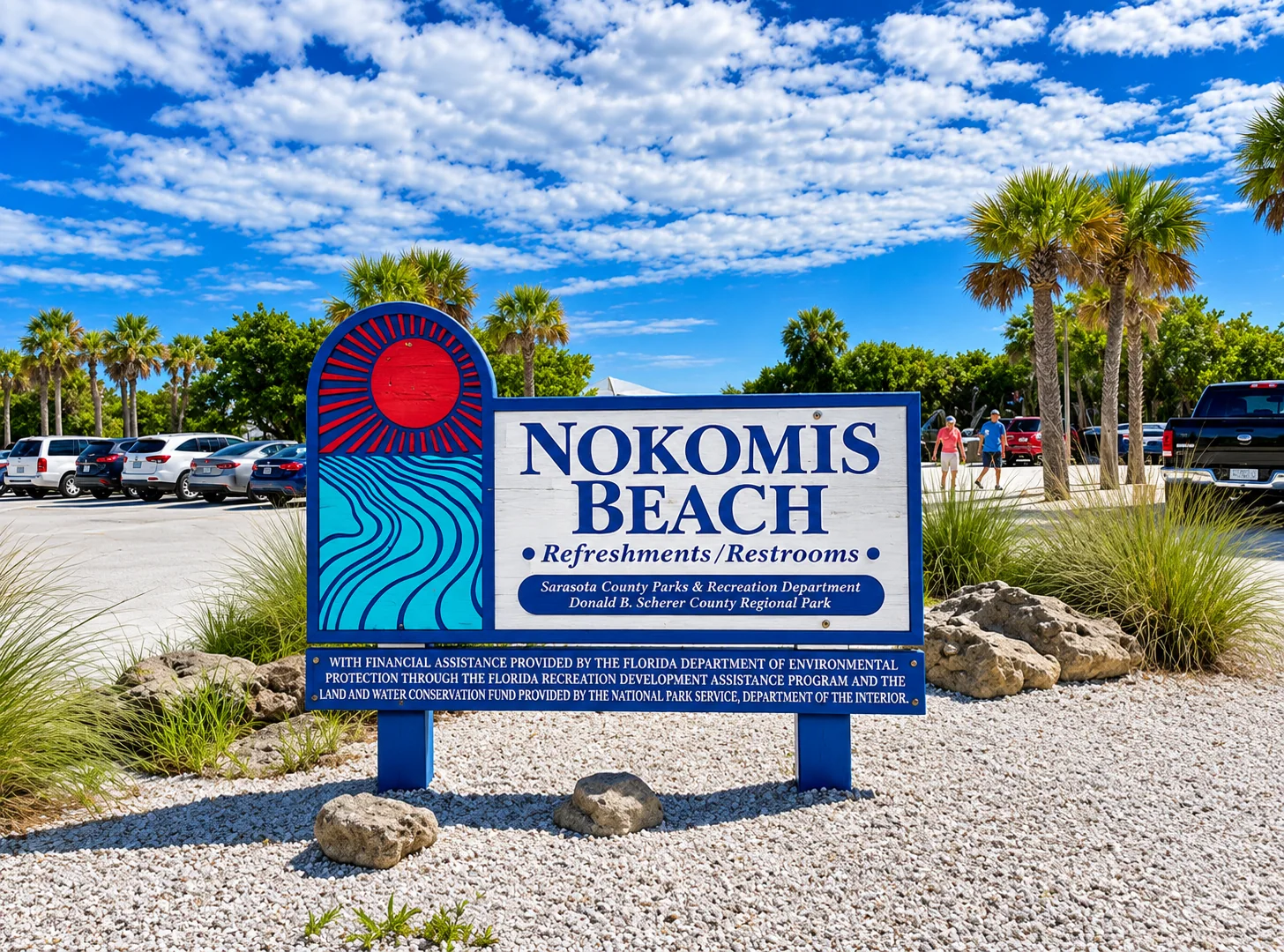
Sarasota County runs two parks at the south end of Casey Key. Nokomis Beach Park, at 100 Casey Key Road, includes the historic Nokomis Beach Plaza, lifeguards, a boardwalk, a canoe and kayak launch, a boat ramp, picnic shelters and free parking, according to the county. North Jetty Park, at 1000 South Casey Key Road on the north side of Venice Inlet, adds fishing from the jetty, a playground, picnic shelters and a concession. The county lists both parks as open from 6 a.m. to 10 p.m., with lifeguards from 10 a.m. to 4:45 p.m. From U.S. 41 at Albee Road, Nokomis Beach is only about 1.2 miles away.
Nokomis Neighborhoods
Nokomis homes range from 1950s cottages near the water to gated golf communities built since the 1980s. These are some of the best known.
Calusa Lakes
Calusa Lakes is a deed-restricted, gated golf community off Laurel Road. According to its community association, it has about 575 single-family homes on 460 wooded acres with 28 lakes and an 18-hole, semi-private golf course. All homeowners belong to the association, which a five-member elected board runs. Some sections are maintenance-free and others are self-maintained, so dues differ by section.
Mission Valley
Mission Valley Golf & Country Club is at 1851 Mission Valley Boulevard, about two miles west of I-75 off Laurel Road, according to the club. It has an 18-hole course with private membership options. Nearby Mission Valley Estates, entered off Laurel Road, has larger lots, some with room for horses. Ask about the deed restrictions and any club costs before you buy.
Sorrento Shores and Sorrento East
Sorrento Shores is an established neighborhood on the bay side of U.S. 41 in northern Nokomis, with canal and waterfront homes as well as off-water streets. Sorrento East, a separate neighborhood east of U.S. 41, is mostly ranch-style homes and villas. Check each home’s flood zone, seawall and dock carefully, because waterfront conditions vary street by street.
Laurel Road and beyond
East of I-75, Laurel Road leads to newer master-planned communities that use Venice or Nokomis addresses, such as Toscana Isles and the Venetian Golf & River Club. We cover those in our Venice guide. North of Nokomis, see our Osprey guide.
Nokomis is one of the oldest settlements on this stretch of the Gulf Coast, and it still feels like a small town.
Dona Bay, the Legacy Trail and Birding
Dona Bay
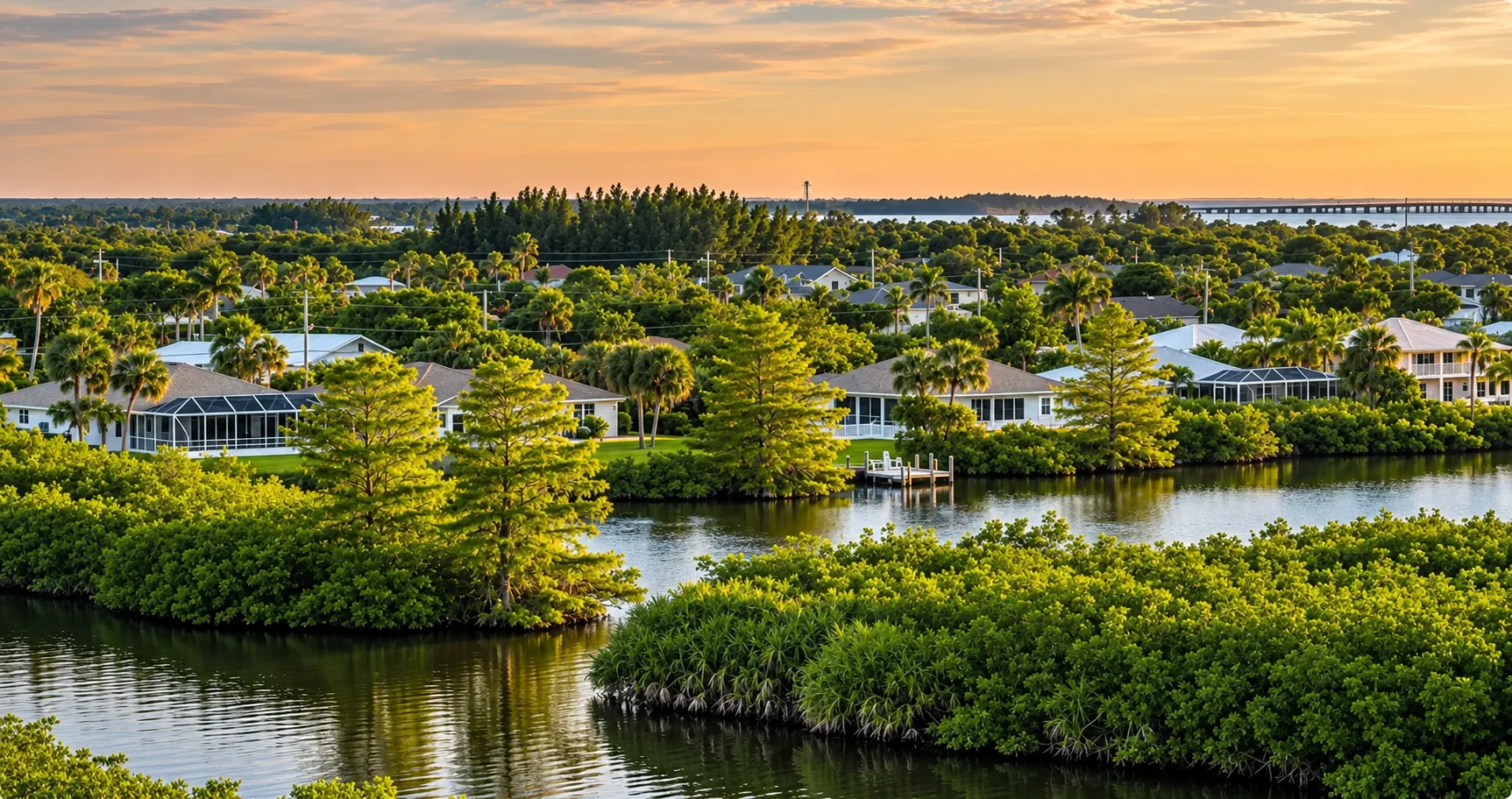
Dona Bay is the small bay where Shakett Creek meets the Intracoastal Waterway on the south side of Nokomis. Decades of drainage changes sent extra fresh water into it. Sarasota County’s Dona Bay restoration program, according to the county’s fact sheet, works in phases to reduce excess fresh water and nutrients, restore more natural salinity and improve wetland habitat. Its next phase, a low-flow weir on Curry Creek, is in design.
The Legacy Trail
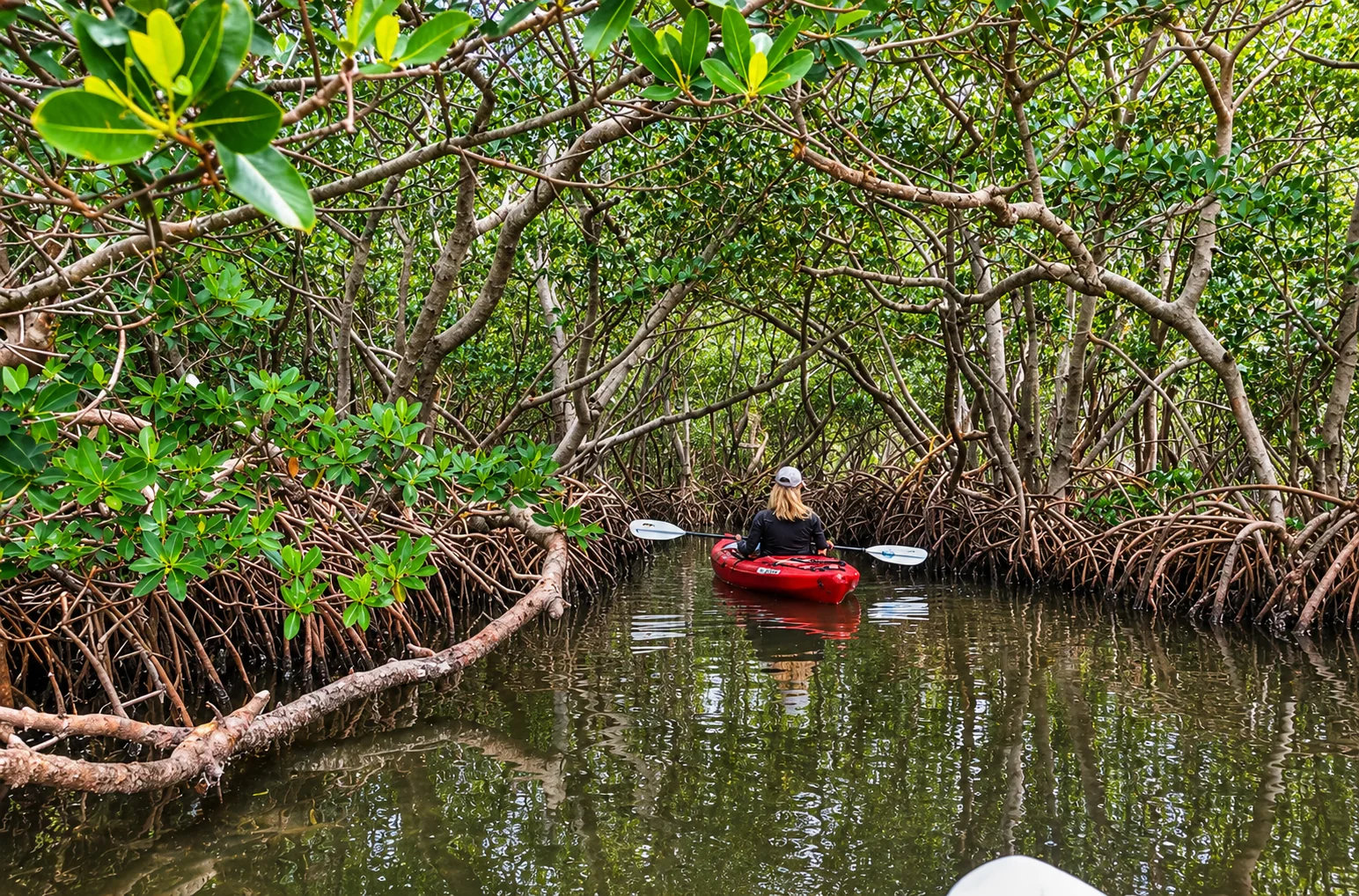
About 2.5 miles of the paved Legacy Trail run through Nokomis, including a bridge over Shakett Creek at Dona Bay. The trail runs about 18.5 miles from the Historic Venice Train Depot to downtown Sarasota, so many residents can bike north to Osprey and Sarasota or south into Venice.
Venice Area Audubon Rookery
The Venice Area Audubon Rookery, on Annex Road in South Venice, is a short drive south. According to Venice Area Audubon Society, which serves Nokomis too, herons, egrets and anhingas roost and nest on a small island in its pond. Nesting is busiest from December through May. The rookery is free and open daily from 6 a.m. to dusk, with a pavilion and a pond loop of about half a mile.
Getting Around: U.S. 41, Laurel Road and I-75
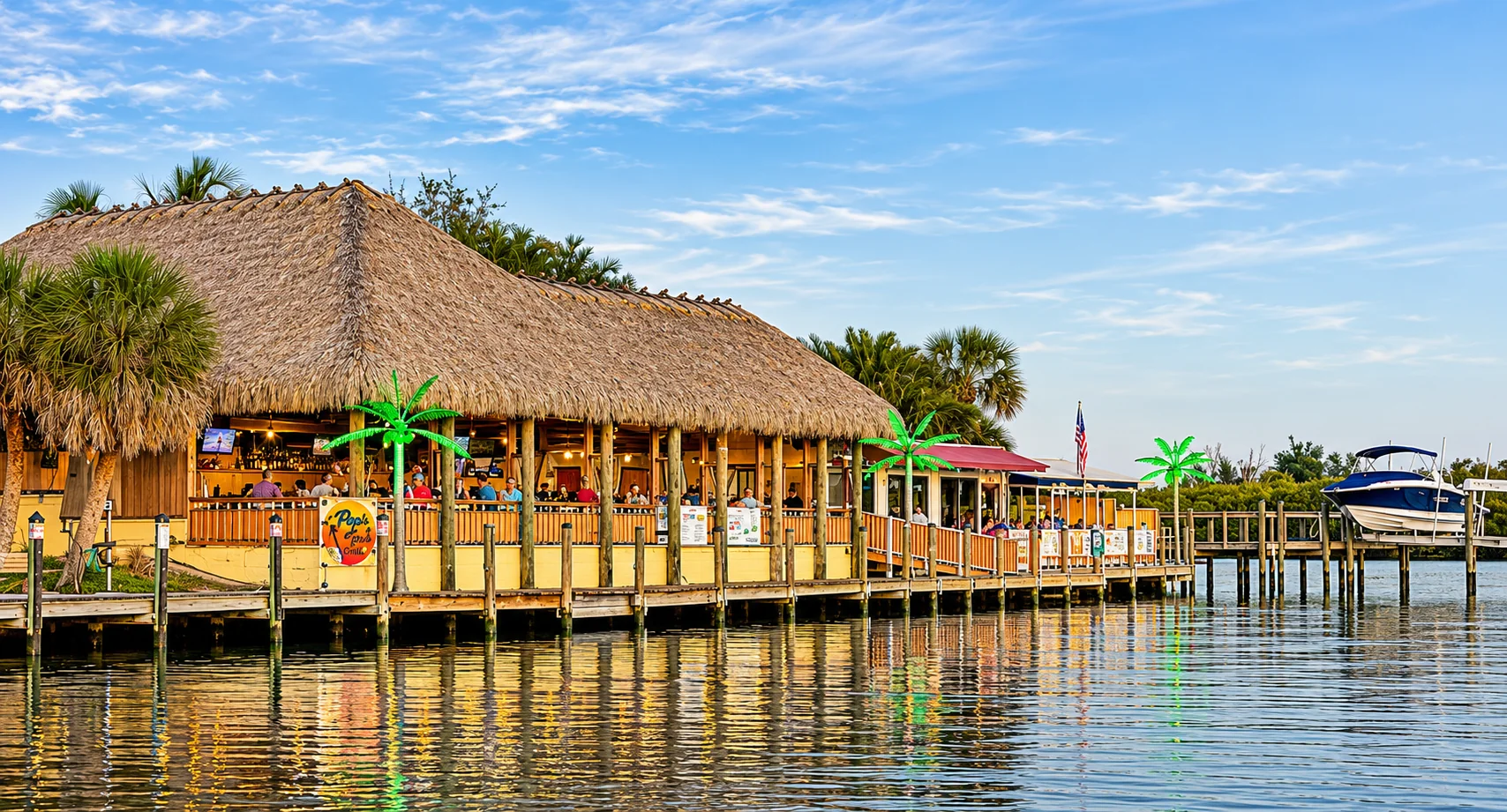
U.S. 41 is Nokomis’s main street, running north to Osprey and Sarasota and south into Venice. Laurel Road, County Road 762, runs east from U.S. 41 to I-75 at Exit 195, a full interchange. From there it continues east toward the newer communities. In season, expect heavier traffic on U.S. 41 and near the Laurel Road interchange.
| From U.S. 41 at Albee Road to | Distance | Typical drive |
|---|---|---|
| Nokomis Beach | About 1.2 miles | About 3 minutes |
| North Jetty Park | About 1.8 miles | About 7 minutes |
| Downtown Venice | About 2 miles | About 5 minutes |
| I-75 at Laurel Road (Exit 195) | About 4.9 miles | About 10 minutes |
| Sarasota Memorial Hospital-Venice | About 5.7 miles | About 12 minutes |
| Siesta Beach | About 13.4 miles | About 23 minutes |
| Downtown Sarasota (Five Points) | About 17 miles | About 30 minutes |
| Sarasota Bradenton International Airport (SRQ) | About 22 miles | About 40 minutes |
| Tampa International Airport (TPA) | About 75 miles | About 1 hour 30 minutes |
Estimates from OpenStreetMap routing on November 3, 2026, not counting traffic. Allow more time in season and at rush hour.
Flood Zones, the 50% Rule and Insurance
Nokomis has a lot of shoreline for its size, and low-lying homes near the bay, canals and creeks can carry real flood risk. Homes farther inland may be in lower-risk zones. Flood zones vary by parcel, so check every address.
The FEMA 50% rule
Under the county’s floodplain rules, a building in a flood zone is substantially damaged or substantially improved when repair or improvement costs equal or exceed 50% of the structure’s market value, excluding land. It must then meet flood rules for new construction, which usually means elevating the lowest floor. See the county’s substantial improvement notice. This matters most for older, ground-level homes near the water.
Flood due diligence
- Check the flood zone on FEMA’s Flood Map Service Center and request an elevation certificate.
- Ask what flooded in 2024, what was repaired and permitted, and whether the county issued a substantial damage determination.
- Read the seller’s flood disclosure. Since October 1, 2025, Florida law has required residential sellers to disclose known flood damage, flood insurance claims and any federal assistance they received for flood damage.
Insurance
Get wind and flood quotes during your inspection period. If a home may be insured through Citizens Property Insurance, note that Citizens requires most personal residential policies with wind coverage to also carry flood insurance on new and renewal policies effective on or after January 1, 2027. Condo and villa buildings three or more stories tall may also fall under Florida’s milestone inspection law, section 553.899.
Schools Serving Nokomis
Nokomis is in the Sarasota County Schools district. We checked addresses on the district’s official zone map in Calusa Lakes, Mission Valley, along Laurel Road and Colonia Lane, and on Albee Road near the beach. All are zoned for Laurel Nokomis School (kindergarten through grade 8) and Venice High School. Both earned an A in the Florida Department of Education’s 2025-26 school grades.
Zones change farther east. An address we checked on Pinebrook Road, for example, is zoned for Garden Elementary and Venice Middle, both rated A, then Venice High. Pine View School in Osprey is a gifted magnet school with its own admission criteria, not a zoned school. Confirm assignments with Sarasota County Schools’ student assignment page and zone locator.
Nokomis Real Estate Market Snapshot
- Location drives price. Waterfront homes, gated golf communities and older inland streets price very differently.
- Association costs vary by community and even by section, and some clubs carry separate membership costs.
- Elevation and storm history matter for older homes near the water because of the 50% rule.
Thinking about selling in Nokomis?
Value depends on water frontage and dockage, community and club, elevation, updates and storm history.
Nokomis FAQ
Is Nokomis its own city?
No. Nokomis is an unincorporated community and census-designated place in Sarasota County, between Osprey and Venice. Sarasota County handles zoning, permits, flood rules and roads.
How many people live in Nokomis?
The U.S. Census Bureau counted 3,217 residents in the Nokomis census-designated place in 2020, up from 3,167 in 2010. The median age was 54.4. Many homes with Nokomis mailing addresses sit outside the census area, including communities along Laurel Road.
Is Nokomis Beach in Nokomis?
Nokomis Beach is on the south end of Casey Key, a barrier island across the bay from mainland Nokomis. You reach it by the Albee Road bridge. Sarasota County runs Nokomis Beach Park and North Jetty Park there.
What schools serve Nokomis?
According to the Sarasota County Schools zone map, the Nokomis addresses we checked, including Calusa Lakes, Mission Valley, Laurel Road and the Albee Road area, are zoned for Laurel Nokomis School (K-8) and Venice High School. Both earned an A in Florida’s 2025-26 school grades. Some addresses farther east, such as along Pinebrook Road, are zoned for Garden Elementary and Venice Middle instead. Confirm any address with the district.
How do you get to I-75 from Nokomis?
Laurel Road connects U.S. 41 in Nokomis to I-75 at Exit 195, a full interchange. The drive from U.S. 41 to the interchange is about 4.9 miles, roughly 10 minutes without traffic.
What is Dona Bay?
Dona Bay is the small bay where Shakett Creek meets the Intracoastal Waterway between Nokomis and Venice. Sarasota County has run a multi-phase restoration program there to reduce excess fresh water and nutrients and improve water quality and habitat. The Legacy Trail crosses it on a bridge.
Where can you see birds near Nokomis?
The Venice Area Audubon Rookery on Annex Road in South Venice is a short drive away. According to Venice Area Audubon Society, herons, egrets and anhingas roost and nest on its pond island, with the most nesting activity from December through May. It is free and open daily from 6 a.m. to dusk.
What is the FEMA 50% rule in Nokomis?
Under Sarasota County’s floodplain rules, if repairs or improvements to a building in a flood zone cost 50% or more of its market value, excluding land, the whole building must meet current flood standards. That usually means elevating it. Ask about any damage determination before you buy a waterfront or older home.
Ready to Make Your Nokomis Move?
Clear, local, no-pressure advice for buyers.
- John Brink, “Broker Brink”
- The SRQ Premier Team | Bright Realty
- Phone: (941) 928-5555
- Email: info@brokerbrink.com
- www.brokerbrink.com
Information in this guide is believed accurate as of November 2026 and is provided for general information only. It is not legal, insurance or financial advice. School zones, flood maps, floodplain rules, rental rules, association and club rules and fees, laws, and park and attraction hours change. Verify all details independently before you buy or sell. Distances and drive times are approximate. Association, club, park and restoration details are as reported by the cited organizations. Listing information is provided through the MLS and is deemed reliable but not guaranteed.