
Here is what to know before you buy or sell.
- JurisdictionUnincorporated Sarasota County
- Population6,690 in the census-designated place (2020 census)
- Main roadsU.S. 41 (Tamiami Trail); I-75 via State Road 681 (Exit 200)
- Home typesSingle-family homes, villas, condominiums and bayfront estates
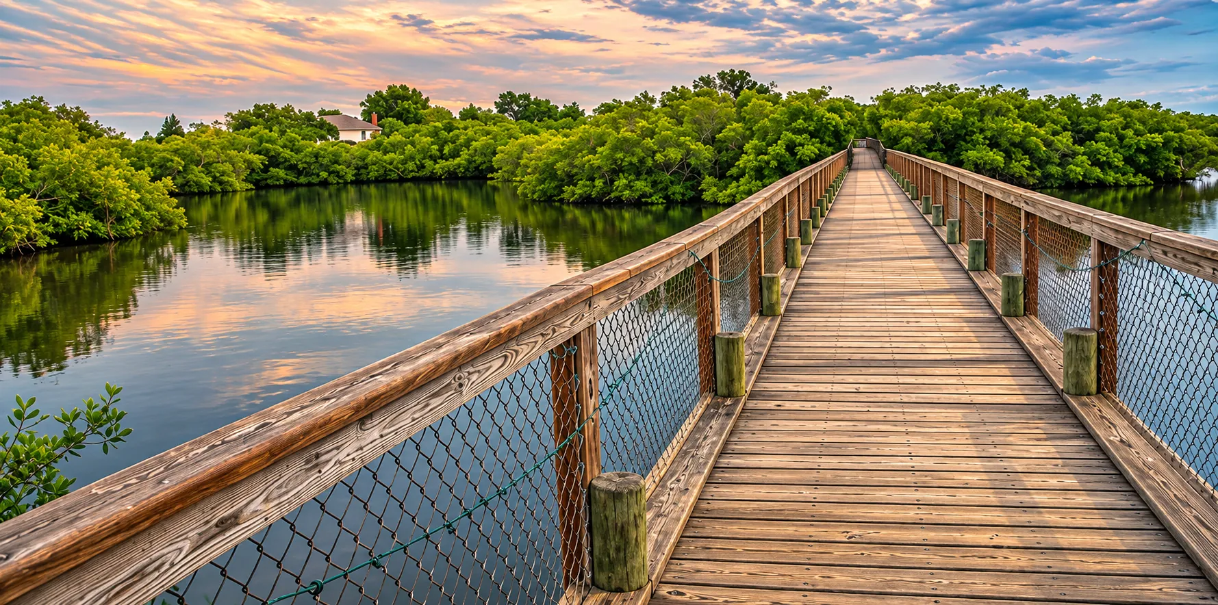
Osprey has no city hall, no downtown and no city limits, and many residents like it that way. It is an unincorporated community in Sarasota County, strung along U.S. 41 and Little Sarasota Bay between Sarasota to the north and Nokomis and Venice to the south. What it does have is an unusual amount of protected land, a long bayfront and a mix of neighborhoods that runs from boating communities to gated golf clubs.
Where Osprey Is and What It Feels Like
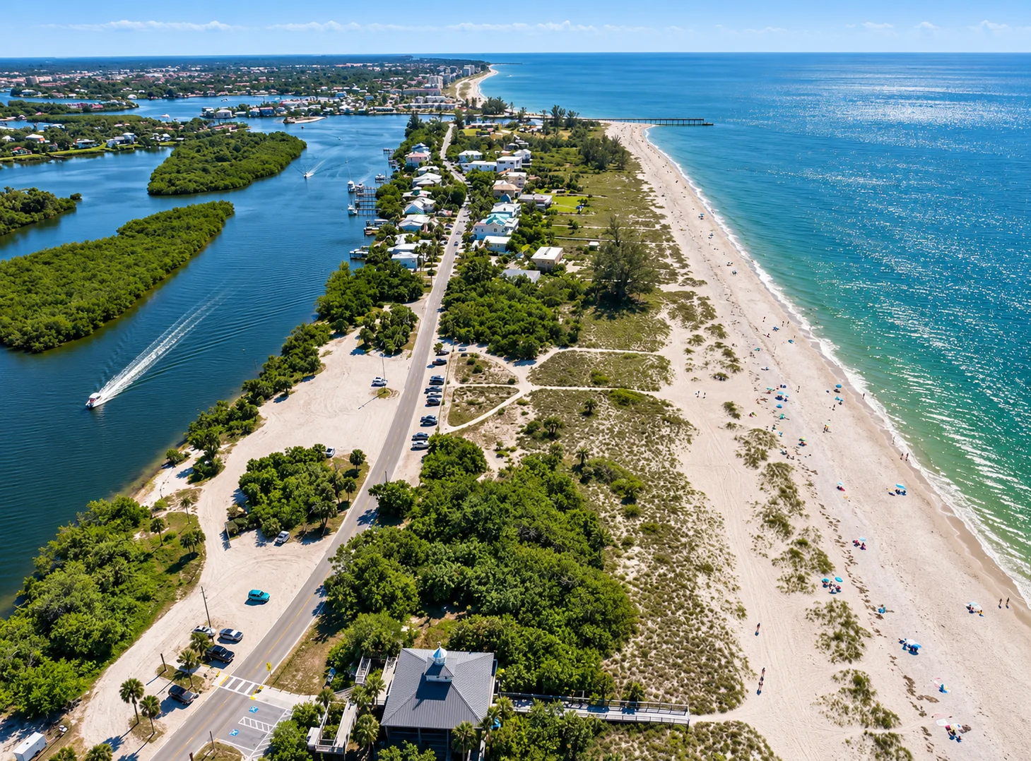
The Osprey census-designated place covers about 6 square miles, according to the Census Bureau, and uses the 34229 ZIP code. U.S. 41, the Tamiami Trail, is its main street. West of the highway, neighborhoods and parks run down to Little Sarasota Bay and the Intracoastal Waterway. East of it, the land gives way to Oscar Scherer State Park, the Legacy Trail corridor and newer subdivisions.
In the 2020 census, Osprey had 3,201 households, and 45.8% of residents were 65 or older. The median age was 62.7, a little younger than neighboring Palmer Ranch. The census also counted 3,740 housing units, 14.4% of them vacant, a figure that includes seasonal homes. Many households are retirees or seasonal residents, but Osprey’s schools, parks and trails draw families too.
Bay Street and the bayfront
Bay Street runs west from U.S. 41 toward the water and is one of the oldest addresses in Osprey. Historic Spanish Point sits on the bay just north of it. Blackburn Point Road, a little farther south, leads to the Blackburn Point Swing Bridge and Casey Key. See our Casey Key guide for the bridge and the island.
Osprey Neighborhoods
Osprey’s neighborhoods differ a lot in age, setting and association structure. These are some of the best known.
The Oaks
The Oaks Club describes itself as three gated residential communities on Little Sarasota Bay, with 24/7 security. According to the club, membership begins with home ownership, and the club has two 18-hole championship courses, the Eagle and the Heron, plus 16 courts. Ask how membership works and what it costs before you make an offer, because it can be a major part of the cost of living there.
Southbay Yacht & Racquet Club
Southbay is a boating community on the Intracoastal Waterway. According to its association, its seven-acre, community-owned marina holds up to 175 vessels, including yachts up to 55 feet, with no fixed bridges to the Gulf about five miles away. Boats enter the marina from the Intracoastal Waterway at red Marker 30, and the association lists a 6-foot depth at mean low water in the entrance channel. Slips, personal watercraft docks and kayak storage are for Southbay owners only. The association also lists a waterfront clubhouse, a heated pool, three tennis courts, four pickleball courts and about 20 acres of common grounds with five miles of sidewalks.
The Woodlands at Rivendell
Rivendell is a deed-restricted community of 498 home sites on about 400 acres of lakes, preserves and open space, according to its association. It borders Oscar Scherer State Park and sits next to Pine View School. Its covenants date to 1996. About a third of the homes, in the Cottages, the Villas and the Patio Homes, also belong to sub-associations that handle lawn and landscape care. Its standing rules set limits on rentals, so read them before you buy an investment property.
Prestancia and Palmer Ranch
Prestancia and the rest of Palmer Ranch lie just north of Osprey and use Sarasota addresses. For those neighborhoods, see our Palmer Ranch guide.
Parks, History and the Outdoors
Oscar Scherer State Park
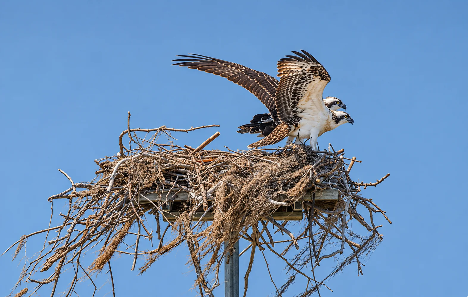
Oscar Scherer State Park covers about 1,400 acres on South Tamiami Trail. It began with a 462-acre ranch left by Elsa Scherer Burrows, who died in 1955 and required that the land be used as a public park and wildlife sanctuary in memory of her father, Oscar Scherer. It opened in 1956. In 1992 the state added 922 acres from neighboring Palmer Ranch to protect Florida scrub-jay habitat. The park has trails for hiking and biking and South Creek for paddling. It draws more than 250,000 visitors a year, and its scrub, flatwoods and creek support Florida scrub-jays, bald eagles and many kinds of butterflies.
Historic Spanish Point
Historic Spanish Point is a bayfront museum and garden campus at 401 North Tamiami Trail, now part of Marie Selby Botanical Gardens. The 33-acre site holds an archaeological record of about 5,000 years of Florida prehistory. It includes prehistoric shell middens, a pioneer homestead, a chapel, a citrus packing house and gardens. The Webb family homesteaded here and named it for a Spanish trader’s advice. Bertha Palmer bought it in 1910. It is listed on the National Register of Historic Places. Selby Gardens lists it as open daily from 10 a.m. to 5 p.m., with a bayside café.
The Legacy Trail
The paved Legacy Trail runs about 18.5 miles on a former rail corridor from the Historic Venice Train Depot to downtown Sarasota. It passes through Oscar Scherer State Park and has the Osprey Junction Trailhead along the way. The original Venice-to-Palmer Ranch segment opened in 2008, and the extension to downtown Sarasota opened in 2022. Many Osprey residents can ride north to Sarasota or south to Venice without using a car.
What it does have is an unusual amount of protected land, a long bayfront and a mix of neighborhoods that runs from boating communities to gated golf clubs.
Waterfront Living on Little Sarasota Bay
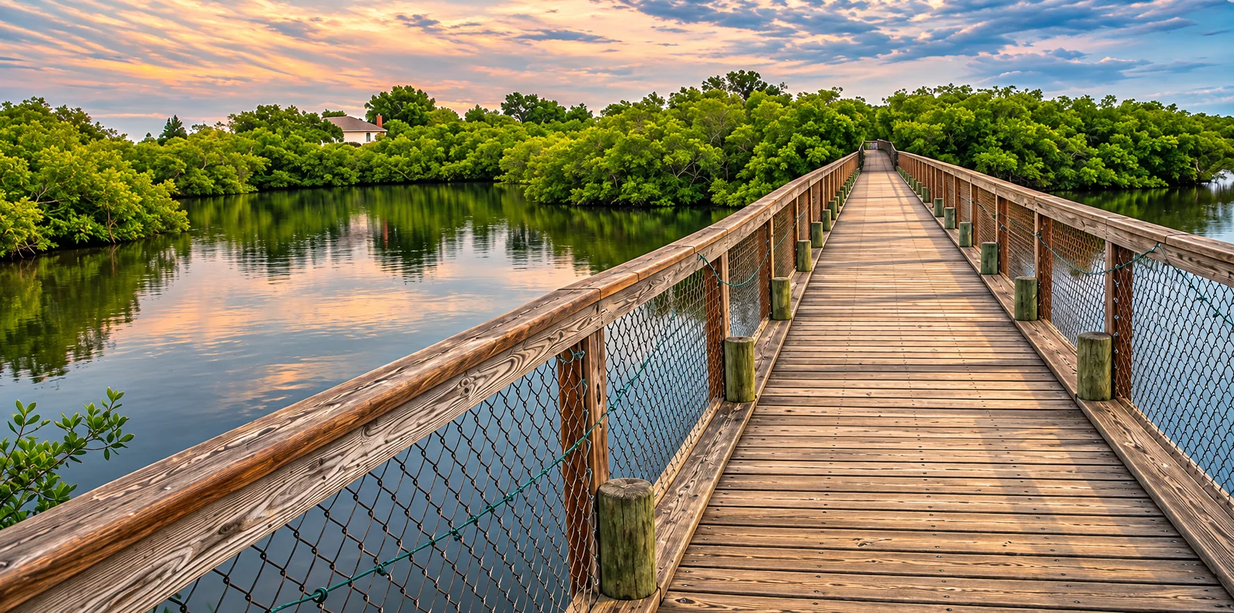
Osprey’s western edge is Little Sarasota Bay, part of the Intracoastal Waterway. Bayfront and canal homes appeal to boaters, but water access, dock rules and bridge clearances vary by property and community. Ask about seawall condition, dock permits and depth at low tide, and check any community marina’s rules. In Southbay, for example, slips are reserved for owners.
Beach access
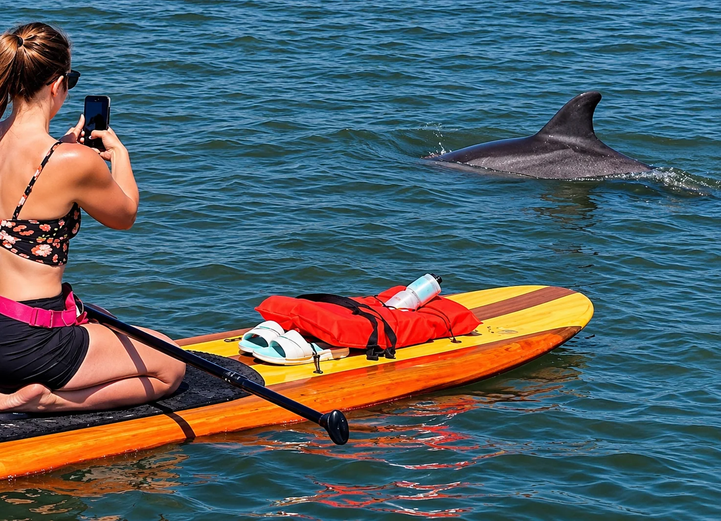
Osprey has no Gulf beach of its own, but two are close. The Blackburn Point Swing Bridge leads to Casey Key, and Nokomis Beach is a short drive south. Siesta Beach is about the same distance north via U.S. 41 and Stickney Point Road.
Getting Around: U.S. 41 and I-75
U.S. 41 carries most local traffic through Osprey, north to Sarasota and south to Nokomis and Venice. State Road 681 connects U.S. 41 to I-75 at Exit 200, but that interchange is a southbound exit and northbound entrance only. For full interchanges, use Clark Road (Exit 205) to the north or Laurel Road (Exit 195) to the south.
| From Bay Street at U.S. 41 to | Distance | Typical drive |
|---|---|---|
| Nokomis Beach | About 6.7 miles | About 12 minutes |
| Siesta Beach | About 7.2 miles | About 13 minutes |
| Downtown Venice | About 8 miles | About 14 minutes |
| Downtown Sarasota (Five Points) | About 11 miles | About 21 minutes |
| Sarasota Bradenton International Airport (SRQ) | About 15.5 miles | About 30 minutes |
| Tampa International Airport (TPA) | About 72 miles | About 1 hour 30 minutes |
Estimates from OpenStreetMap routing on November 3, 2026, not counting traffic. From Rivendell, add about 3 to 6 minutes. Allow more time in season and at rush hour.
Flood Zones, the 50% Rule and Insurance
Osprey’s bayfront and low-lying areas can carry real flood risk, while homes farther inland may not. Flood zones vary by parcel, so check every address.
The FEMA 50% rule
Under the county’s floodplain rules, a building in a flood zone is substantially damaged or substantially improved when repair or improvement costs equal or exceed 50% of the structure’s market value, excluding land. It must then meet flood rules for new construction, which usually means elevating the lowest floor. See the county’s substantial improvement notice. This matters most for older, ground-level homes near the bay.
Flood due diligence
- Check the flood zone on FEMA’s Flood Map Service Center and request an elevation certificate.
- Ask what flooded in 2024, what was repaired and permitted, and whether the county issued a substantial damage determination.
- Read the seller’s flood disclosure. Since October 1, 2025, Florida law has required residential sellers to disclose known flood damage, flood insurance claims and any federal assistance they received for flood damage.
Insurance
Get wind and flood quotes during your inspection period. If a home may be insured through Citizens Property Insurance, note that Citizens requires most personal residential policies with wind coverage to also carry flood insurance on new and renewal policies effective on or after January 1, 2027. Condo buildings three or more stories tall may also fall under Florida’s milestone inspection law, section 553.899.
Schools Serving Osprey
Osprey is in the Sarasota County Schools district. We checked six addresses on the district’s official zone map, including Rivendell, Southbay, The Oaks, Bay Street, Old Venice Road and Blackburn Point Road. All are zoned for Laurel Nokomis School (kindergarten through grade 8) and Venice High School. Both earned an A in the Florida Department of Education’s 2025-26 school grades.
Pine View School
Pine View School, for grades 2 through 12, is on Python Path in Osprey and also earned an A. It is a gifted magnet school, not a zoned school. Under district policy, students must meet gifted eligibility and Pine View’s admission criteria and deadlines, and it is not open through the district’s controlled open enrollment. Some listings describe homes as “in the Pine View zone,” but no address is zoned for Pine View. Confirm assignments with Sarasota County Schools’ student assignment page and zone locator, and see Pine View School’s site for admissions.
Osprey Real Estate Market Snapshot
- Setting drives price. Bayfront estates, marina homes, golf club homes and inland subdivisions price very differently.
- Club and association costs can be significant, especially where club membership comes with ownership.
- Elevation and storm history matter for older homes near the bay because of the 50% rule.
Thinking about selling in Osprey?
Value depends on water frontage and dockage, community and club, elevation, updates and storm history.
Osprey FAQ
Is Osprey its own city?
No. Osprey is an unincorporated community and census-designated place in Sarasota County, between Sarasota and Venice. Sarasota County handles zoning, permits, flood rules and roads. Most addresses use the 34229 ZIP code.
How many people live in Osprey?
The U.S. Census Bureau counted 6,690 residents in the Osprey census-designated place in 2020, up from 6,100 in 2010. The median age was 62.7.
What schools serve Osprey?
According to the Sarasota County Schools zone map, the Osprey addresses we checked, including Rivendell, Southbay, The Oaks and the Bay Street and Blackburn Point Road areas, are zoned for Laurel Nokomis School (K-8) and Venice High School. Both earned an A in Florida’s 2025-26 school grades. Confirm any address with the district.
Is Pine View School zoned for Osprey homes?
No. Pine View School for the Gifted is in Osprey, but it is a magnet school with no residential attendance zone. Students must meet Florida gifted eligibility and the district’s magnet admission criteria and deadlines. Living nearby does not guarantee a seat.
What is there to do in Osprey?
Oscar Scherer State Park covers about 1,400 acres of scrub, pine flatwoods and South Creek. Historic Spanish Point, run by Marie Selby Botanical Gardens, has gardens, pioneer buildings and prehistoric shell middens on Little Sarasota Bay. The paved Legacy Trail runs through the area between Venice and downtown Sarasota.
How close is Osprey to the beach?
From Bay Street at U.S. 41, Nokomis Beach is about 6.7 miles and Siesta Beach about 7.2 miles, each roughly 12 to 14 minutes without traffic. Casey Key is just across the Blackburn Point Swing Bridge.
How do you get to I-75 from Osprey?
State Road 681 links U.S. 41 in Osprey to I-75 at Exit 200, a southbound exit and northbound entrance only. For full access in both directions, use Clark Road (Exit 205) to the north or Laurel Road (Exit 195) to the south.
What is the FEMA 50% rule in Osprey?
Under Sarasota County’s floodplain rules, if repairs or improvements to a building in a flood zone cost 50% or more of its market value, excluding land, the whole building must meet current flood standards. That usually means elevating it. Ask about any damage determination before you buy a bayfront or older home.
Ready to Make Your Osprey Move?
Clear, local, no-pressure advice for buyers.
- John Brink, “Broker Brink”
- The SRQ Premier Team | Bright Realty
- Phone: (941) 928-5555
- Email: info@brokerbrink.com
- www.brokerbrink.com
Information in this guide is believed accurate as of November 2026 and is provided for general information only. It is not legal, insurance or financial advice. School zones and admissions, flood maps, floodplain rules, association and club rules and fees, laws, and park hours change. Verify all details independently before you buy or sell. Distances and drive times are approximate. Association, club, museum and park details are as reported by the cited organizations. Listing information is provided through the MLS and is deemed reliable but not guaranteed.