
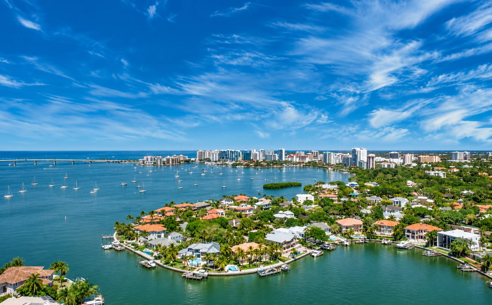
Here is what to know before you buy or sell.
Ask people where they live in central Sarasota and you will often hear “West of the Trail.” It is not one official subdivision and it does not appear as a single district on a city planning map. It is a local, market term for the wedge of older mainland neighborhoods that sits west of Tamiami Trail and east of Sarasota Bay, immediately south of downtown.
- JurisdictionCity of Sarasota, in Sarasota County
- SettingWest of U.S. 41 / Tamiami Trail, just south of downtown, toward the bay
- Home typesSingle-family houses, waterfront and canal-front homes, some cottages and smaller lots near Southside Village
- Signature spotsSouthside Village, Harbor Acres, Cherokee Park, Hudson Bayou, Sarasota Memorial Hospital
Where West of Trail Is
The name only makes sense once you look at what U.S. 41 does when it leaves downtown. Along the downtown bayfront, the Tamiami Trail hugs the water, so there is little or no neighborhood west of it. Near Mound Street the highway turns inland and runs south, a short distance from Sarasota Bay. That turn opens a belt of streets between the Trail and the water. That belt is what locals mean by West of Trail.
The exact edges depend on who is talking. A commonly used core runs from the Hudson Bayou / Mound Street area on the north, through Southside Village, Harbor Acres and Cherokee Park, and on toward other west-side pockets farther south. Some informal lists stretch the label more loosely. Treat it as a useful local phrase with a clear geographic heart and fuzzy borders, and focus on the specific neighborhood and the specific block when you shop.
Daily life here is mainland life. You are close to downtown, close to the bay, and close to the barrier-island beaches, but ordinary errands do not require a bridge. Osprey Avenue runs through the area roughly parallel to the Trail and the bay. Southside Village, the walkable shopping and dining district around Osprey Avenue and Hillview Street, is the social center of the corridor. Sarasota Memorial Hospital’s main campus, at 1700 South Tamiami Trail, sits beside the village.
Neighborhoods and Home Types
West of Trail is a collection of named neighborhoods, not a single street pattern or a single price band. Waterfront streets, canopy-lined estate blocks and smaller lots near the village can sit only a few minutes apart. Tour more than one pocket before you decide.
Harbor Acres
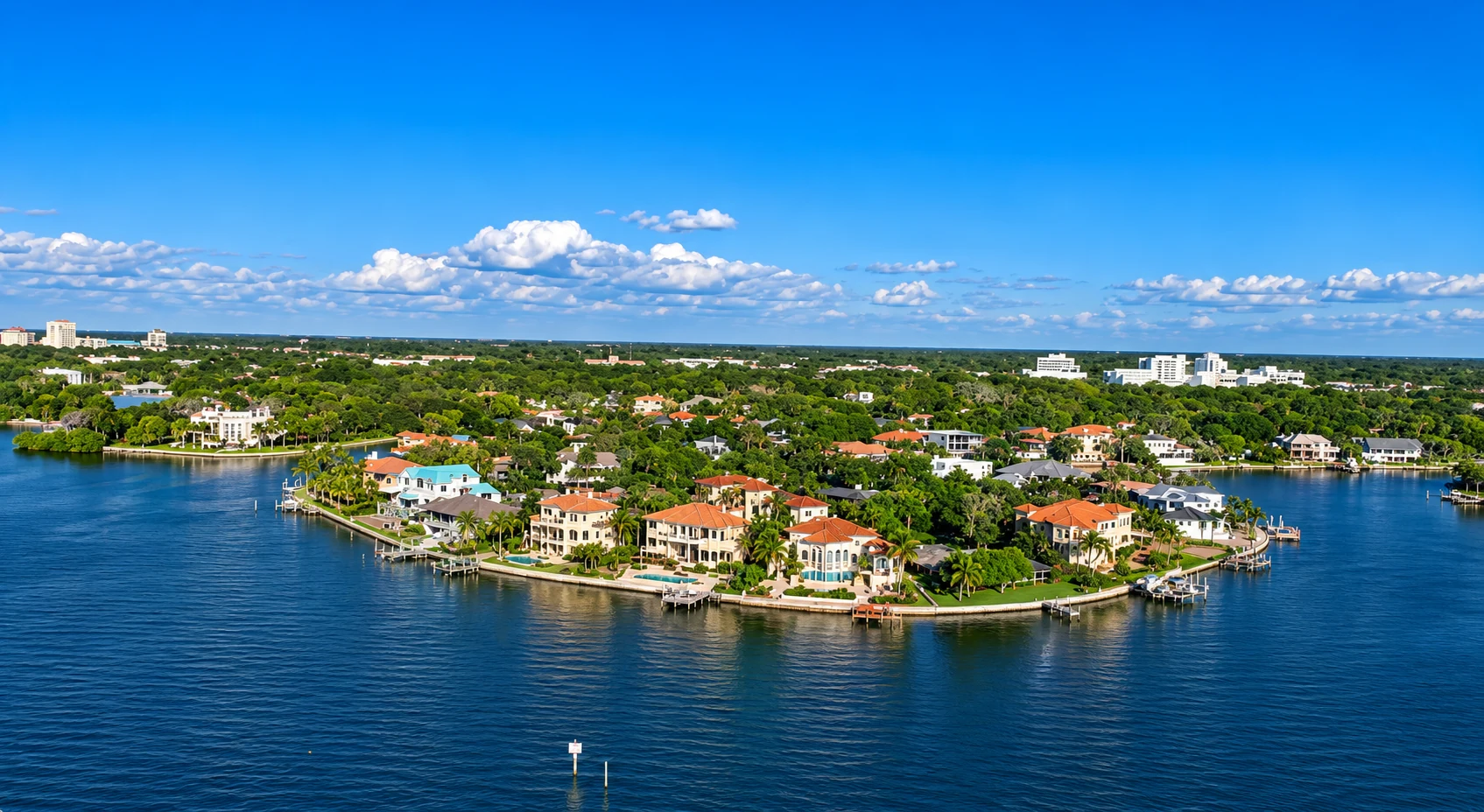
Harbor Acres is the bayfront enclave most people picture when they talk about waterfront living west of the Trail. It sits just south of downtown, off Osprey Avenue, with streets and small peninsulas that reach Sarasota Bay. Many homes have canals, private docks and views toward the water, Bird Key, the John Ringling Causeway or the downtown skyline. The housing stock is almost entirely single-family, from mid-century houses to much larger, newer waterfront residences. If boating access or a bay view is the point of the search, start here, and confirm depth, bridges, dock rights and any neighborhood rules on the specific parcel.
Cherokee Park
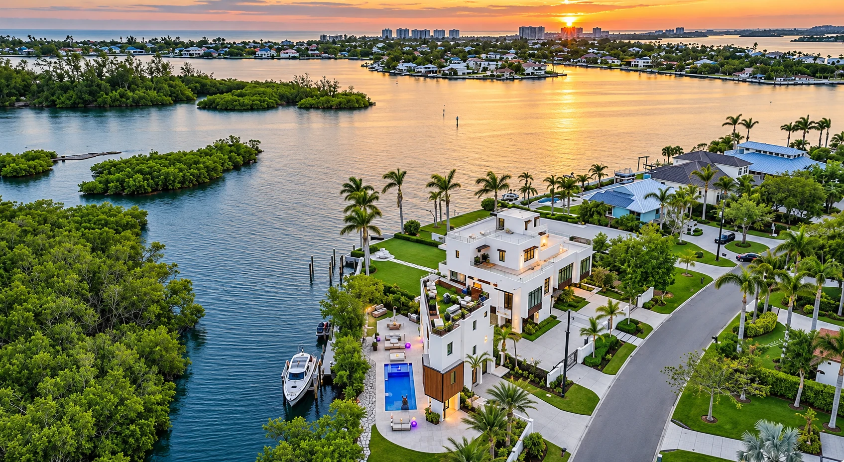
Cherokee Park is a close-in residential neighborhood of larger, often heavily treed lots, a short way from Southside Village and Southside Elementary School. The streets feel quieter and more set back than the village itself. Architecture is mixed: older houses, Mediterranean and mid-century homes, and newer construction on the same blocks. Some properties are near or on the water; many are inland under the canopy. Lot size and the character of the street usually matter as much as a water view.
Hudson Bayou
Hudson Bayou occupies the northern end of the west-of-the-Trail wedge, around the bayou of the same name, just south of downtown and near Mound Street and Osprey Avenue. It is one of the older named pockets in this part of the city, with a mix of houses and a block-by-block feel that changes quickly as you move toward downtown, the bayfront or the village. Because it sits so close to downtown, it is easy to over-generalize; walk the block you are considering.
Southside Village
Southside Village is the commercial and social heart of the area, not a single residential subdivision. The Southside Village Association describes it as Sarasota’s oldest shopping district, located just south of downtown between U.S. 41 and Osprey Avenue, along Osprey Avenue and Hillview Street, behind Sarasota Memorial Hospital. Around the shops are streets of houses and smaller homes that appeal to buyers who want to walk to dinner, the market or a coffee shop. Residential styles vary, and some streets have little or no homeowners association. Confirm that for the property, not the neighborhood name.
Other named pockets
The same west-of-the-Trail wedge includes other city-recognized or long-used neighborhood names, among them McClellan Park and Granada. You will also hear Bay Point Park, Oyster Bay and others as you look south along the bay and Phillippi Creek. Those pockets are not identical. Some are older plats with a mix of bungalows and later houses; some are more waterfront-oriented; a few lists occasionally pull in areas that mapping actually places east of the Trail. When a listing says “West of Trail,” identify the named neighborhood and look at the lot, the flood map and the walk or drive to the village, downtown and the beach.
Lifestyle: Southside Village, Dining and Daily Errands
The practical advantage of this part of Sarasota is how much of daily life fits on the mainland, a few minutes from downtown. Southside Village is built for walking once you park: restaurants with sidewalk tables, boutiques, salons, galleries and a neighborhood market on a few walkable blocks.
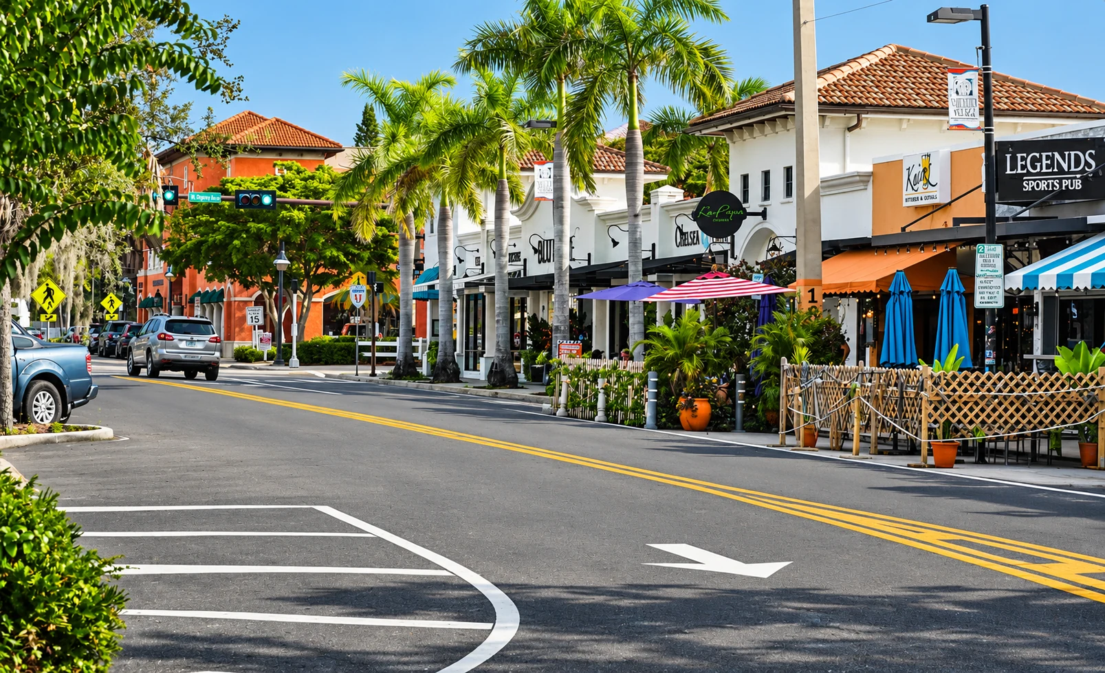
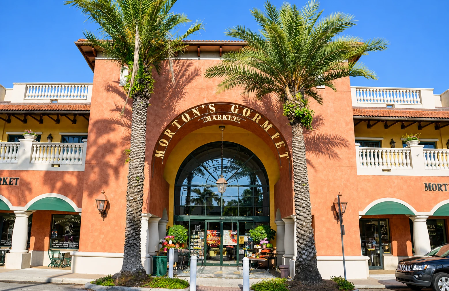
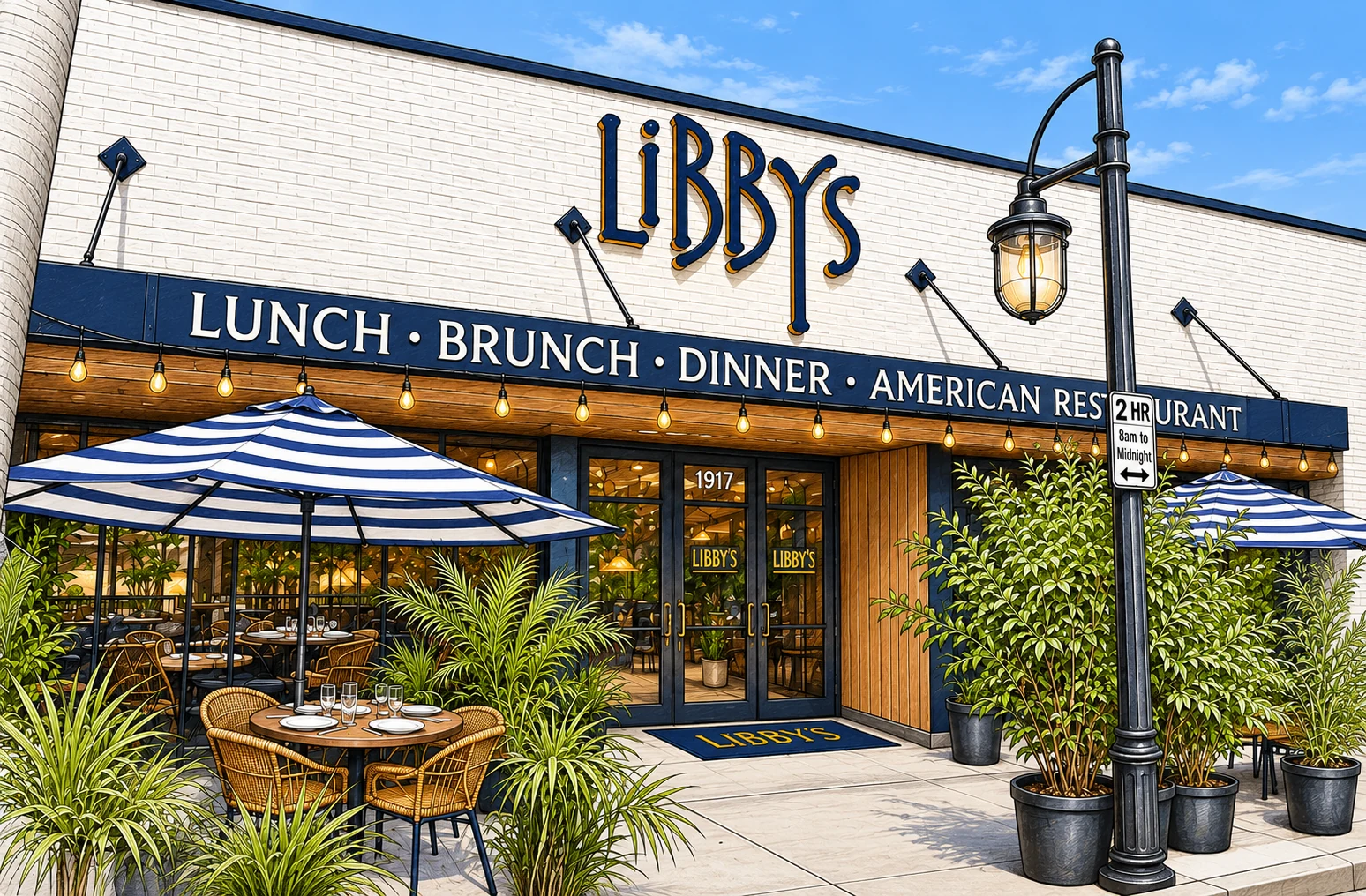
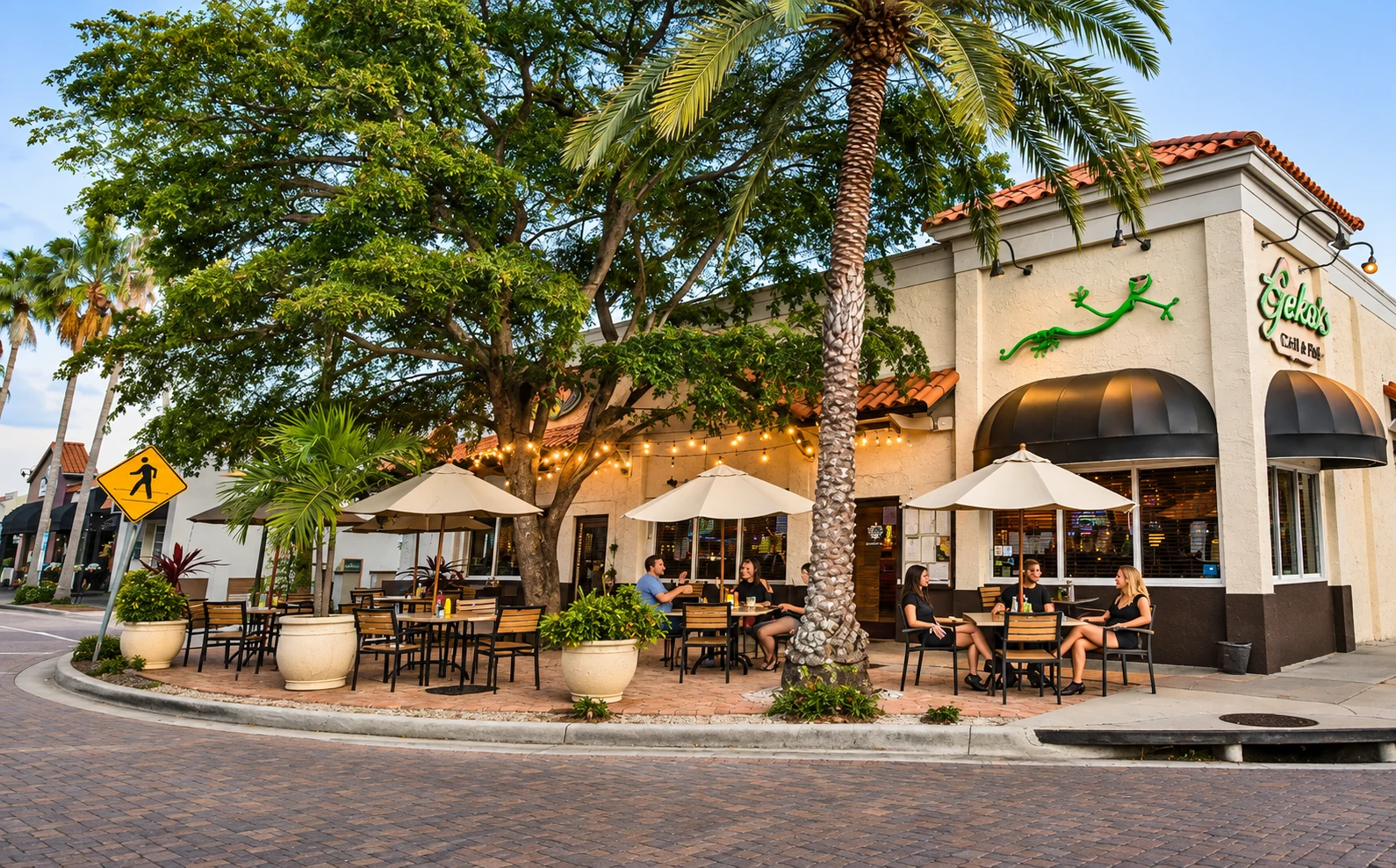
Morton’s Gourmet Market, at 1924 South Osprey Avenue, is the longtime grocery and prepared-food anchor. Libby’s, at 1917 South Osprey Avenue, is a well-known neighborhood restaurant for lunch, brunch and dinner. Gecko’s Grill & Pub, at 1900 Hillview Street, is a corner pub with an outdoor patio. They are not the only options. The village directory also includes other restaurants, bars, shops and services, and the hospital campus is next door. For a wider night out, downtown Sarasota is just to the north; for a beach day, Siesta Key is a short drive south and Lido Beach and St. Armands Circle are reached by the John Ringling Causeway.
Sarasota Memorial Hospital
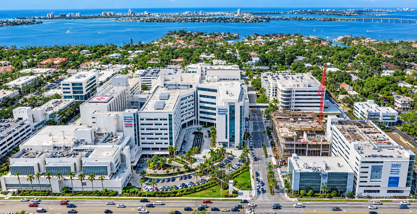
Sarasota Memorial Hospital’s main campus is on South Tamiami Trail, at the eastern edge of the West of Trail area beside Southside Village. It is a major regional hospital and Sarasota County’s only trauma center, a Level II Trauma Center at 1700 South Tamiami Trail.
Marie Selby Botanical Gardens sits on the bayfront near the north edge of this corridor, at the downtown / Mound Street side of the map, so many West of Trail residents treat it as a nearby outing rather than a long trip. The Bay Park, Main Street and the city’s performing-arts venues are likewise a short hop into downtown. Parks and bayou edges inside the neighborhoods themselves are smaller and more local; the big civic landscapes are close, not on every block.
Getting Around: Downtown, the Beaches, the Airport and I-75
West of Trail is a central, mainland location. Downtown Sarasota is immediately to the north. U.S. 41 forms the eastern edge. Osprey Avenue is the local north-south spine. For most households this is a car-and-errands neighborhood with a walkable commercial core, not a car-free one, but many daily trips stay off the barrier islands.
Siesta Key and Siesta Beach lie to the south, reached on mainland roads and then the island bridges. Lido Beach and St. Armands Circle are reached by heading toward downtown and crossing the John Ringling Causeway. Sarasota-Bradenton International Airport (SRQ) is north of downtown on the mainland. I-75 is to the east; the usual connections from this part of the city are the mid-county exits such as Bee Ridge Road and Clark Road, depending on where you are starting. Drive times vary with season and time of day, especially on beach routes and the causeway. Always time a commute yourself.
Flood Zones, the 50% Rule and Insurance
Bayfront, canal and low-lying streets in West of Trail can carry real flood risk, while some inland blocks may not. Flood zones vary by parcel, so check every address. Do not assume that a house a few streets from the water, or a house that has never had a claim in one ownership, is outside a special flood hazard area.
The FEMA 50% rule
Under National Flood Insurance Program rules used by local governments, a building in a flood zone is substantially damaged or substantially improved when the cost of repair or improvement equals or exceeds 50% of the structure’s market value, excluding land. The building must then meet flood standards for new construction, which usually means elevating the lowest floor. Addresses in this area are in the City of Sarasota; confirm the local process with the city’s building or floodplain office. This matters most for older, ground-level homes near the bay, a bayou or a canal.
Flood due diligence
- Check the flood zone on FEMA’s Flood Map Service Center and request an elevation certificate.
- Ask what flooded in recent storms, what was repaired and permitted, and whether a substantial damage determination was issued.
- Read the seller’s flood disclosure. Since October 1, 2025, Florida law has required residential sellers to disclose known flood damage, flood insurance claims and any federal assistance they received for flood damage.
Insurance
Get wind and flood quotes during your inspection period. If a home may be insured through Citizens Property Insurance, note that Citizens requires most personal residential policies with wind coverage to also carry flood insurance on new and renewal policies effective on or after January 1, 2027. If you look at a condominium building of three or more stories, Florida’s milestone inspection law, section 553.899, may also apply.
Schools Serving West of Trail
West of Trail addresses are in the City of Sarasota and the Sarasota County Schools district. Southside Elementary School is in the neighborhood, at 1901 Webber Street, a few blocks from Southside Village. The Mediterranean Revival campus dates to 1926 and was added to the National Register of Historic Places in 1984. It serves kindergarten through grade 5.
School zoning in Sarasota County is assigned by address and can differ from one block to the next. Do not rely on a listing that says a home is “in the Southside zone,” and do not assume that every West of Trail address is zoned for the same elementary, middle or high school. Confirm the current assignment for any address with Sarasota County Schools’ student assignment page and zone locator. Magnet, choice and gifted programs have their own eligibility rules and are not guaranteed by living nearby.
West of Trail Real Estate Market Snapshot
- Setting drives value. Bayfront and canal-front houses, large-lot streets under the trees, and smaller homes near Southside Village are different markets, even when they share the West of Trail label.
- The label is not a legal boundary. Compare the named neighborhood, the lot, the water (or lack of it) and the walk to the village, rather than shopping by the phrase alone.
- Elevation and storm history matter, especially for older, ground-level homes near the bay, a bayou or a canal, because of flood-zone rules and the 50% rule.
- Association costs vary. Many streets have little or no homeowners association; others may have deed restrictions or association rules. Confirm fees, rental rules and any dock or waterway rules on the specific property.
- Vacant land is part of the search. Tear-downs and open lots appear in this corridor, especially where older houses sit on valuable land. Check zoning, setbacks, flood elevation and the 50% rule before you assume you can rebuild what you have in mind.
Listings come from Stellar MLS through RealScout and are deemed reliable but not guaranteed.
West of Trail FAQ
What is West of Trail in Sarasota?
It is a local name, not a single official subdivision, for the established mainland neighborhoods just south of Downtown Sarasota, west of U.S. 41 (Tamiami Trail) and toward Sarasota Bay. The core includes pockets such as Southside Village, Harbor Acres, Cherokee Park and Hudson Bayou. The edges of the phrase can vary.
Is West of Trail its own city?
No. These neighborhoods are in the City of Sarasota, in Sarasota County. The city handles local zoning, permits and floodplain administration for addresses inside the city limits. It is a location within the city, not a separate municipality.
What types of homes are available in West of Trail?
Most of the housing is single-family, ranging from cottages and mid-century houses to large waterfront homes with docks, especially in Harbor Acres and along canals and the bay. There are also streets of smaller homes near Southside Village. Inventory changes, so use a current search rather than assuming a given property type is always available.
What is there to do in West of Trail?
Southside Village is a walkable district of restaurants, shops and a neighborhood market around Osprey Avenue and Hillview Street. Sarasota Memorial Hospital is next to the village. Downtown Sarasota, Marie Selby Botanical Gardens, The Bay Park and the city’s arts venues are just to the north. Siesta Key is a short drive south, and Lido Beach and St. Armands Circle are reached by the John Ringling Causeway.
How close is West of Trail to the beach?
You are on the mainland, not on a barrier island. Siesta Key lies to the south; Lido Beach and St. Armands Circle are reached via the causeway near downtown. Drive times depend on the exact address, the season and traffic. Time the trip from a house you are serious about.
What schools serve West of Trail?
The area is in the Sarasota County Schools district. Southside Elementary School is in the neighborhood at 1901 Webber Street. Zoning for elementary, middle and high school is assigned by address and should be confirmed with the district’s zone locator. Magnet and choice programs have separate admissions rules.
Do I need flood insurance in West of Trail?
It depends on the parcel. Bayfront, canal and low-lying streets may be in a special flood hazard area; some inland blocks may not. Check the FEMA flood map, request an elevation certificate, and get a flood insurance quote during your inspection period. A lender or a future insurer may require coverage even when it is not legally mandated.
What is the FEMA 50% rule in West of Trail?
If a building in a flood zone is repaired or improved at a cost of 50% or more of its market value, excluding land, it generally must be brought up to current flood standards, which usually means elevating it. Confirm the local process with the City of Sarasota, and ask about any substantial damage determination before you buy an older waterfront or ground-level home.
Ready to Make Your West of Trail Move?
Clear, local, no-pressure advice for buyers.
- John Brink, “Broker Brink”
- The SRQ Premier Team | Bright Realty
- Phone: (941) 928-5555
- www.brokerbrink.com
Information in this guide is believed accurate as of November 2026 and is provided for general information only. It is not legal, insurance or financial advice. School zones and admissions, flood maps, floodplain rules, association rules and fees, laws, and business hours change. Verify all details independently before you buy or sell. Distances and drive times are approximate. Southside Village details are as described by the Southside Village Association and the businesses named. Listing information is provided through the MLS and is deemed reliable but not guaranteed.